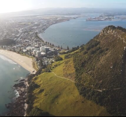
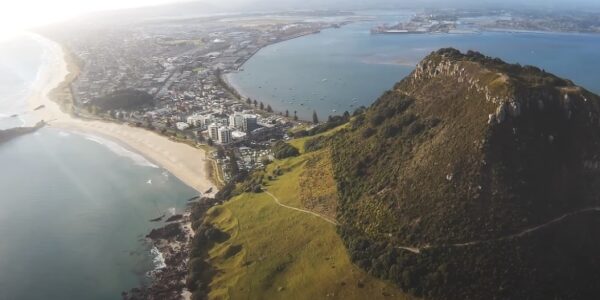
Discover the Best of Mount Maunganui: A Guide to What to Do in This Stunning Locale
Welcome to Mount Maunganui! Nestled along the pristine coastline of New Zealand, this dynamic destination offers everything from scenic hikes and golden beaches to vibrant culinary experiences and bustling markets. Whether you’re looking for adventure, relaxation, or just a taste…

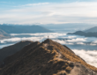
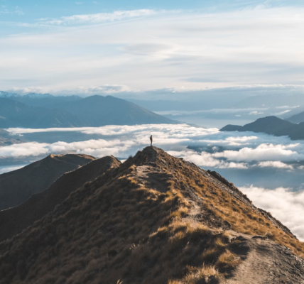
Roys Peak vs Isthmus Peak: Ultimate Hiking Guide
When planning a trek in New Zealand’s South Island, hikers often find themselves choosing between two iconic trails: Isthmus Peak and Roys Peak. Both peaks offer stunning views, challenging trails, and unique experiences, making them popular choices among locals and…
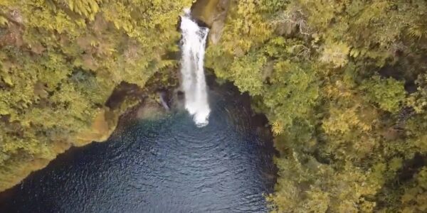
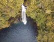
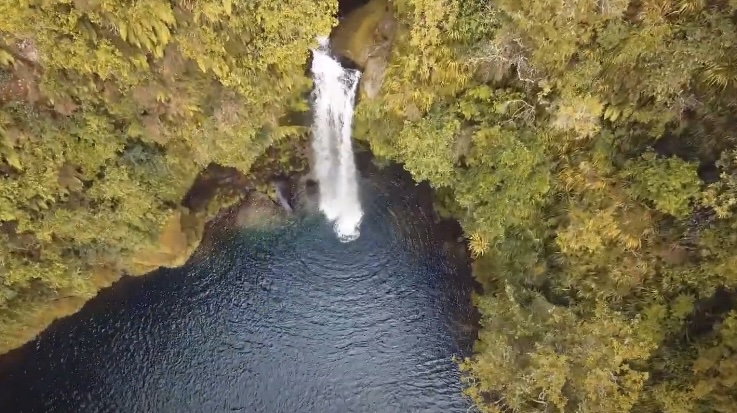
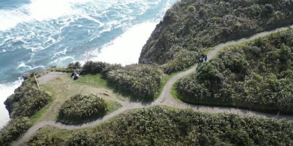
Discover Omanawa Falls Walk: A Hidden Gem in New Zealand’s Bay of Plenty
Omanawa Falls, nestled in the lush landscape of New Zealand’s Bay of Plenty, is a breathtaking natural wonder that beckons adventurers and nature lovers alike. Known for its serene beauty and hidden location, the Omanawa Falls Walk offers a unique…
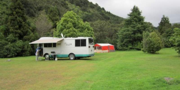
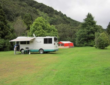
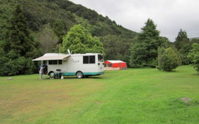
Mount Holdsworth Camping – Essential Guide for Campers
Camping at Mount Holdsworth is not just an outdoor activity; it’s an entry into the vast expanse of Tararua Forest Park, a landscape that captivates with its rugged mountains and lush valleys. As a gateway to one of New Zealand’s…
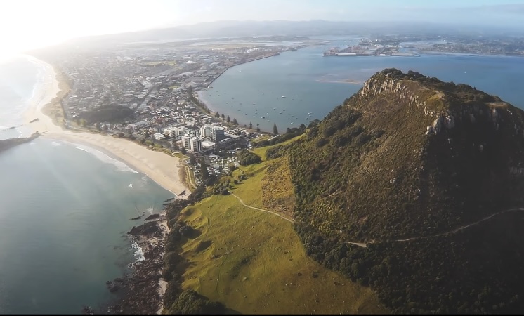
Discover the Best of Mount Maunganui: A Guide to What to Do in This Stunning Locale
Welcome to Mount Maunganui! Nestled along the pristine coastline of New Zealand, this dynamic destination offers everything from scenic hikes and golden beaches to vibrant culinary experiences and bustling markets. Whether you’re looking for adventure, relaxation, or just a taste…
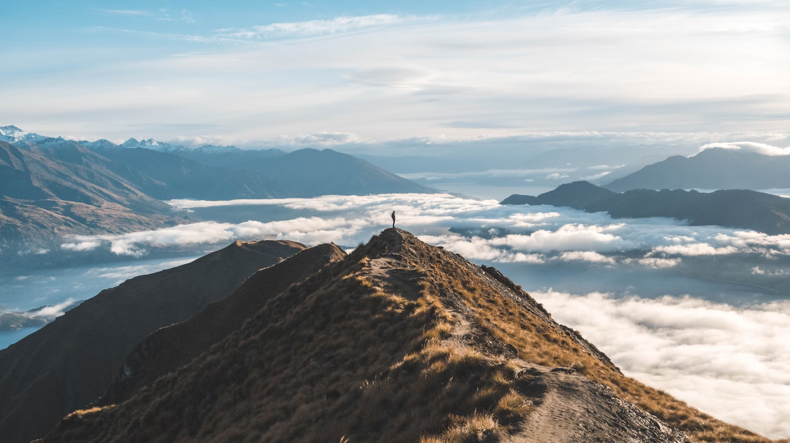
Roys Peak vs Isthmus Peak: Ultimate Hiking Guide
When planning a trek in New Zealand’s South Island, hikers often find themselves choosing between two iconic trails: Isthmus Peak and Roys Peak. Both peaks offer stunning views, challenging trails, and unique experiences, making them popular choices among locals and…
Discover Omanawa Falls Walk: A Hidden Gem in New Zealand’s Bay of Plenty
Omanawa Falls, nestled in the lush landscape of New Zealand’s Bay of Plenty, is a breathtaking natural wonder that beckons adventurers and nature lovers alike. Known for its serene beauty and hidden location, the Omanawa Falls Walk offers a unique…
Mount Holdsworth Camping – Essential Guide for Campers
Camping at Mount Holdsworth is not just an outdoor activity; it’s an entry into the vast expanse of Tararua Forest Park, a landscape that captivates with its rugged mountains and lush valleys. As a gateway to one of New Zealand’s…
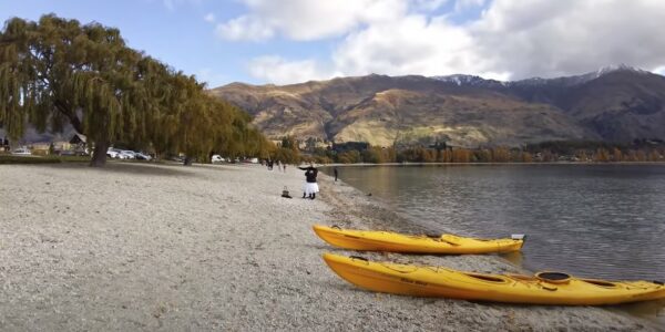
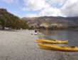
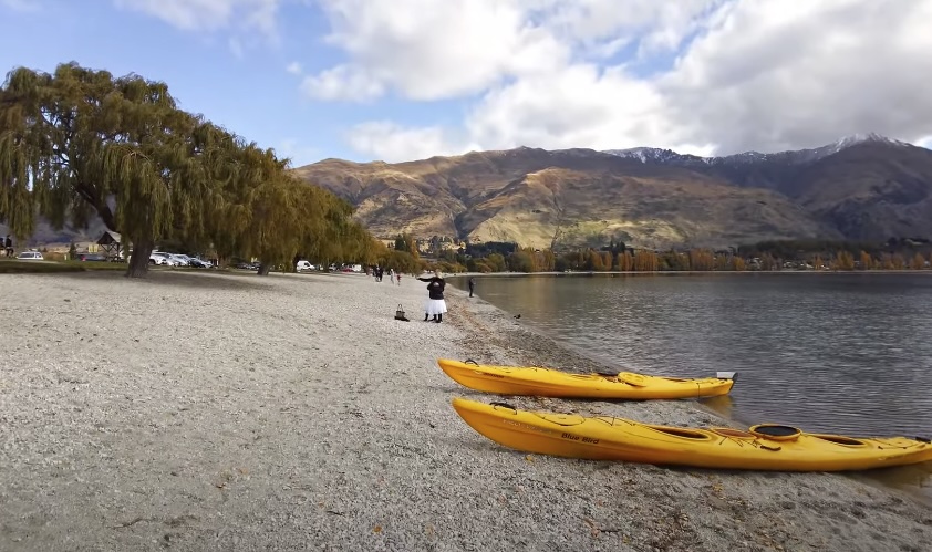
Exploring on Foot: Discover the Best Walks Around Wanaka
Nestled on the shores of its namesake lake, Wanaka is a haven for outdoor enthusiasts, offering some of the most scenic and exhilarating walking trails in New Zealand. Whether you’re a seasoned hiker or a casual stroller, Wanaka’s diverse landscapes…
Top Trails to Trek: Discovering the Best Hikes Around Auckland
Auckland, known for its vibrant city life, also boasts some of the most scenic hikes in New Zealand. Whether you’re a seasoned hiker or a weekend walker, the range of walks in Auckland offers something for everyone. This article explores…
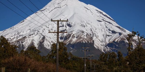
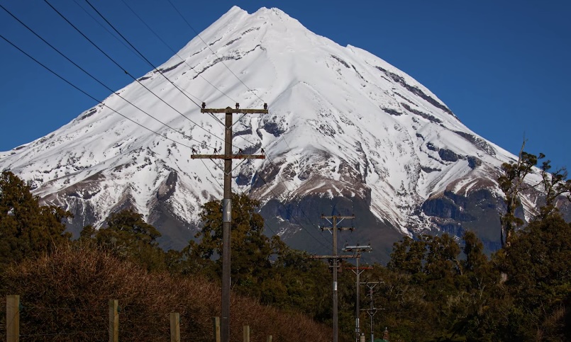
Exploring the Trails: A Guide to Mount Taranaki Walks
Mount Taranaki, an iconic symbol of the Taranaki region in New Zealand, beckons adventurers with its lush landscapes and challenging trails. Known for its almost perfect conical shape, this dormant stratovolcano offers a range of walking and hiking paths that…
Hiking with Kids: Tips for Family-Friendly Adventures in New Zealand
Introducing your children to the wonders of hiking in New Zealand’s majestic landscapes can be an enriching and rewarding experience for the whole family. From lush forests and sparkling waterfalls to rugged coastlines and snow-capped mountains, New Zealand offers a…
Connecting with Nature: Mindfulness Practices for Hiking in New Zealand
Hiking in New Zealand’s breathtaking wilderness offers not only physical exercise but also an opportunity to cultivate mindfulness and deepen your connection with nature. Mindfulness, the practice of being fully present and engaged in the present moment, can enhance your…
The Ultimate Packing List for Multi-Day Hiking Trips in New Zealand
Embarking on a multi-day hiking trip in New Zealand’s stunning wilderness is a dream come true for outdoor enthusiasts. However, proper preparation and packing are essential to ensure a safe, comfortable, and enjoyable experience on the trail. From essential gear…